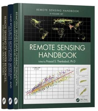
Reseña del libro "Remote Sensing Handbook - Three Volume Set (en Inglés)"
A volume in the three-volume Remote Sensing Handbook series, Remote Sensing of Water Resources, Disasters, and Urban Studies documents the scientific and methodological advances that have taken place during the last 50 years. The other two volumes in the series are Remotely Sensed Data Characterization, Classification, and Accuracies, and Land Resources Monitoring, Modeling, and Mapping with Remote Sensing.In true handbook style, this volume demonstrates in-depth, extensive and comprehensive coverage of Remote Sensing of Water Resources, Disasters, and Urban Studies. The book provides fundamental as well as practical knowledge of remote sensing of myriad topics pertaining to water resources, disasters, and urban areas such as hydrology, water resources, water use, water productivity, floods, wetlands, snow and ice, nightlights, geomorphology, droughts and drylands, disasters, volcanoes, fire, and smart cities. Highlights include: Hydrological studies, groundwater studies, flood studies, and crop water use and water productivity studies Wetland modeling, mapping, and characterization Snow and ice studies Drought and dryland monitoring and mapping methods Volcanoes, coal fires, and greenhouse gas emissions Urban remote sensing for disaster risk management Remote sensing for the design of smart cities Considered magnum opus on the subject the three-volume Remote Sensing Handbook is edited by Dr. Prasad S. Thenkabail, an internationally acclaimed scientist in remote sensing, GIScience, and spatial sciences. The volume has contributions from pioneering remote sensing global experts on specific topics. The volume gives you a knowledge base on each of the above mentioned topics, a deep understanding the evolution remote sensing science, and familiarity with state-of-the-art of technology as well as a future vision for the field.

